Map Status : None - You need to be logged if you want to do the surface mapping.
Human : 8
Biological : 5
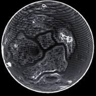
Radius : 1401.6 km - Area : 24.686 Mm²
Temperature : 173 K
Mass : 0.01 Earth Mass
Gravity : 0.203 G
Terraforming : None
Composition : Rock (66.85%), Metal (33.15%), Ice (0%)
Volcanism : No volcanism
Atmosphere : Thin Ammonia
Pressure : 0.002 atm
 iron (22.15%) nickel (16.75%) sulphur (15.58%) carbon (13.1%)
 manganese (9.15%) phosphorus (8.38%) zinc (6.02%) vanadium (5.44%)
 tin (1.42%) tungsten (1.22%)
 technetium (0.79%)