Map Status : None - You need to be logged if you want to do the surface mapping.
Human : 8
Biological : 1
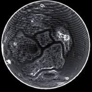
Radius : 3199.72 km - Area : 128.657 Mm²
Temperature : 217 K
Mass : 0.125 Earth Mass
Gravity : 0.498 G
Terraforming : None
Composition : Rock (67.14%), Metal (32.86%), Ice (0%)
Volcanism : No volcanism
Atmosphere : Thin Carbon dioxide
Pressure : 0.004 atm
 iron (22.05%) nickel (16.68%) sulphur (15.65%) carbon (13.16%)
 chromium (9.92%) phosphorus (8.43%) zinc (5.99%) germanium (4.59%)
 niobium (1.51%) tin (1.42%)
 polonium (0.61%)