Map Status : None - You need to be logged if you want to do the surface mapping.
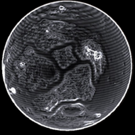
Radius : 1162.14 km - Area : 16.972 Mm²
Temperature : 173 K
Mass : 0.005 Earth Mass
Gravity : 0.137 G
Terraforming : None
Composition : Rock (91.12%), Metal (8.88%), Ice (0%)
Volcanism : No volcanism
Atmosphere : Thin Carbon dioxide
Pressure : 0.035 atm
 iron (18.8%) sulphur (18.38%) carbon (15.46%) nickel (14.22%) phosphorus (9.89%)
 chromium (8.45%) manganese (7.76%) vanadium (4.62%)
 tin (1.12%) mercury (0.82%)
 polonium (0.48%)