Map Status : None - You need to be logged if you want to do the surface mapping.
Human : 7
Geological : 3
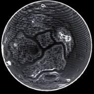
Radius : 6829.21 km - Area : 586.072 Mm²
Temperature : 197 K
Mass : 1.501 Earth Mass
Gravity : 1.309 G
Terraforming : None
Composition : Rock (65.67%), Metal (34.33%), Ice (0%)
Volcanism : Minor Silicate Vapour Geysers
Atmosphere : Thin Argon-rich
Pressure : 0.098 atm
 iron (22.35%) nickel (16.9%) sulphur (15.62%) carbon (13.13%)
 manganese (9.23%) phosphorus (8.41%) zinc (6.07%) germanium (4.63%)
 molybdenum (1.46%) tungsten (1.23%)
 antimony (0.98%)